
Last modified: 2023-01-25 by martin karner
Keywords: neuchâtel |
Links: FOTW homepage |
search |
disclaimer and copyright |
write us |
mirrors
See also:
|
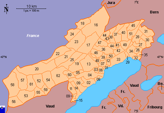
01 Auvernier 02 Bevaix 03 Bôle 04 Boudry 05 Brot-Dessous 06 Colombier 07 Corcelles- -Cormondrèche 08 Cortaillod 09 Fresens 10 Gorgier 11 Montalchez 12 Peseux 13 Rochefort 14 Saint-Aubin-Sauges 15 Vaumarcus 16 La Chaux-de-Fonds |
17 La Sagne 18 Les Planchettes 19 Brot-Plamboz 20 La Brévine 21 La Chaux-du-Milieu 22 Le Cerneux- -Pequignot 23 Le Locle 24 Les Brenets 25 Les Ponts-de- -Martel 26 Cornaux 27 Cressier 28 Enges 29 Hauterive 30 Le Landeron 31 Lignières |
32 Marin-Epagnier 33 Neuchâtel 34 Saint-Blaise 35 Thielle-Wavre 36 Boudevilliers 37 Cernier 38 Chézard-Saint- -Martin 39 Coffrane 40 Dombresson 41 Engollon 42 Fenin-Vilars-Saules 43 Fontainemelon 44 Fontaines 45 Le Pâquier 46 Les Geneveys-sur- -Coffrane |
47 Les Hauts- -Geneveys 48 Montmollin 49 Savagnier 50 Valangin 51 Villiers 52 Boveresse 53 Buttes 54 Couvet 55 Fleurier 56 La Côte-aux-Fées 57 Les Bayards 58 Les Verrières 59 Môtiers 60 Noiraigue 61 Saint-Sulpice 62 Travers |
Copyright: FOTW Neuchâtel map by António Martins and Pascal Gross and boundaries’ data by Jarig Bakker. If you wish to reuse them on your website, read our copyright rules.